
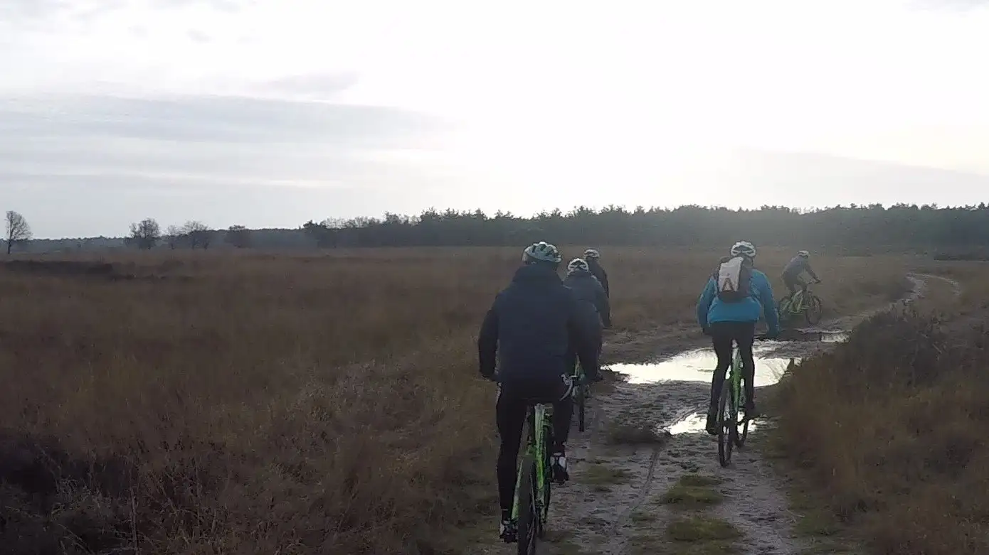
Nationaal Park Dwingelderveld (Dwingelderveld National Park)
MTB route Dwingeloo
Through the Dwingelderveld, the largest wet heathland in Western Europe. Around 80 per cent unpaved: forest tracks, sandy paths and bits of singletrack.
Length19.3 km
Climbing145 m
LevelModerate
WaymarkingRed MTB sign, clockwise
What to expect
- Forest tracks and sandy paths with some singletrack
- Quite a few tree roots
- Northern section is flatter, partly running alongside the A28
Along the way
- The heath and moorland pools of the Dwingelderveld
- A grazing area with sheep and cattle (through a gate)
- The Dwingeloo radio telescope, a national monument from 1956
Start and getting there
Start: Oriëntatiecentrum Spier, Oude Postweg 12, Spier (large car park, toilets and kiosk).
From Hoogeveen: about 15 km, a quarter of an hour by car or an hour by bike.
From Ruinen: about 10 km by bike, around three quarters of an hour.
Good to know
No permit needed.
GPX and map
Download the GPX of the Dwingeloo route for your bike computer or phone, or see the map and latest notices on mtbroutes.nl.
Off to Dwingeloo on a mountain bike?
Check in ten seconds whether your bike is available.
Check availability