
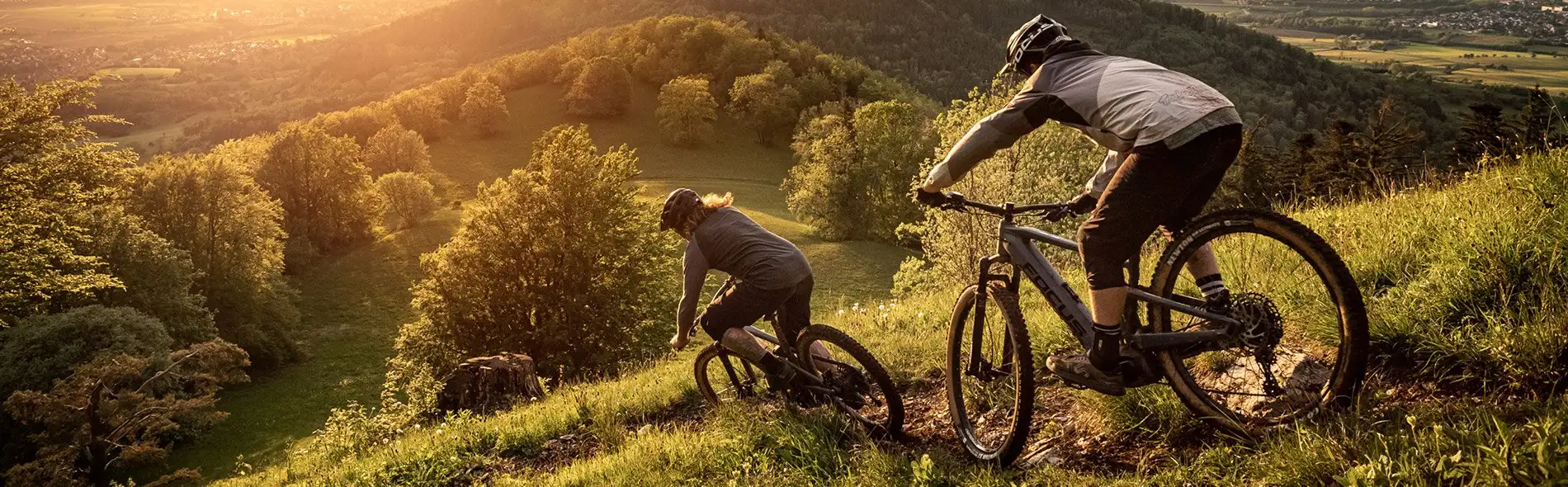
The VAM-berg near Wijster, the highest point in Drenthe
MTB route Wijster (VAM-berg)
Short but tough: almost 300 metres of climbing in less than ten kilometres. The former landfill site is now the best-known climb in Drenthe, with views across the whole surrounding countryside.
Please note: Recent feedback from riders reports that the waymarking on the VAM-berg is not complete everywhere. Bring the GPX file with you.
What to expect
- Short, steep climbs and descents
- A rock garden, a 300 metre boardwalk and a floating bridge
- A route for riders who already have some MTB experience
Along the way
- The highest point in Drenthe, with views from the top
- Known from the Ronde van Drenthe and the Dutch national road cycling championships
- The De Blinkerd information centre at the top
Start and getting there
Start: VAM-berg Noord car park by the Het Blinkerdje coffee kiosk (Vamweg 5, Wijster), VAM-berg Zuid, Boslounge Spier or Green Planet Pesse.
From Hoogeveen: about 14 km, around 18 minutes by car.
From Ruinen: about 12 km.
GPX and map
Download the GPX of the Wijster (VAM-berg) route for your bike computer or phone, or see the map and latest notices on mtbroutes.nl.
Off to Wijster (VAM-berg) on a mountain bike?
Check in ten seconds whether your bike is available.
Check availability