
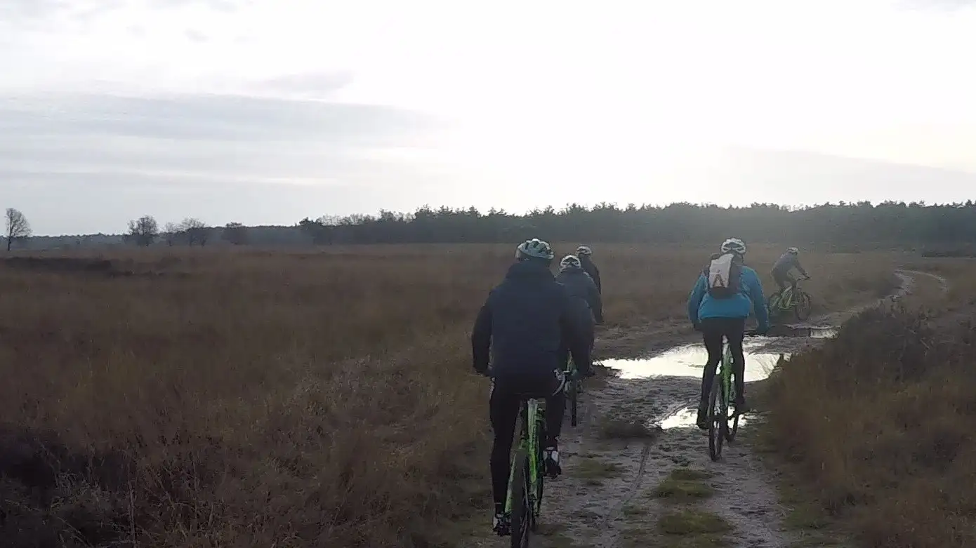
Mountain bike routes
Routes from the doorstep
The best waymarked MTB routes in south-west Drenthe, with the distance from our rental locations. From a flat beginners’ loop to the steep climbs of the VAM-berg.
Prefer cycle paths to singletrack? Cycling routes in Drenthe
RuinenBoswachterij Ruinen (Ruinen forest) and the Echtense bos
19.6 kmEasyClosest to RuinenDwingelooNationaal Park Dwingelderveld (Dwingelderveld National Park)
19.3 kmModerateClosest to RuinenWijster (VAM-berg)The VAM-berg near Wijster, the highest point in Drenthe
9.4 kmChallengingClosest to HoogeveenZuidwolde WestAround Zuidwolde: open fields, woodland and former raised bog
20.2 kmEasyClosest to HoogeveenZuidwolde OostSteenberger Oosterveld, east of the N48
8.4 kmModerateClosest to HoogeveenDiever-HoogersmildeNationaal Park Drents-Friese Wold (Drents-Friese Wold National Park)
22.8 kmModerateClosest to RuinenHavelte WestThe Holtingerveld and the military training area near Havelte
15.5 kmChallengingClosest to RuinenHavelte OostAround the Holtingerveld Natura 2000 site
25.7 kmEasyClosest to RuinenAll routes are waymarked and the GPX files are on mtbroutes.nl. Routes can be temporarily closed or diverted, for example for tree felling. Check the route page before you set off.
The routes in Westerveld (Dwingeloo, Diever, Havelte and Ruinen) and De Wolden are linked by black connecting routes, so you can easily make a longer ride of it.
Rent your mountain bike for the route
Check in ten seconds whether your bike is available.
Check availability