
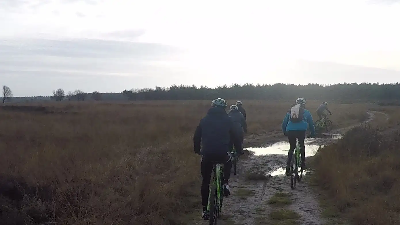
Around the Holtingerveld Natura 2000 site
MTB route Havelte Oost
Grassy paths, twisty singletrack and wide tracks around the Holtingerveld, with a junction where you can choose a shorter loop. Following recent changes, it is also a good option for gravel riders.
Length25.7 km
Climbing106 m
LevelEasy
WaymarkingGreen MTB sign, anticlockwise
What to expect
- Grassy paths, singletrack and wide tracks
- A small climb up the "Spinnenkop" and the technical "Genieput"
- Choice of a shorter or longer loop
Along the way
- Heathland with a moorland pool
- Two hunebeds (prehistoric dolmens) along the route
- Traces of the Second World War
Start and getting there
Start: Holtingerveld entrance gate, Helomaweg 14, Havelte.
From Hoogeveen: about 30 km, around half an hour by car.
From Ruinen: about 20 km by car or 16 km by bike.
Good to know
Helmet compulsory (rule of the Havelte MTB club).
GPX and map
Download the GPX of the Havelte Oost route for your bike computer or phone, or see the map and latest notices on mtbroutes.nl.
Off to Havelte Oost on a mountain bike?
Check in ten seconds whether your bike is available.
Check availability